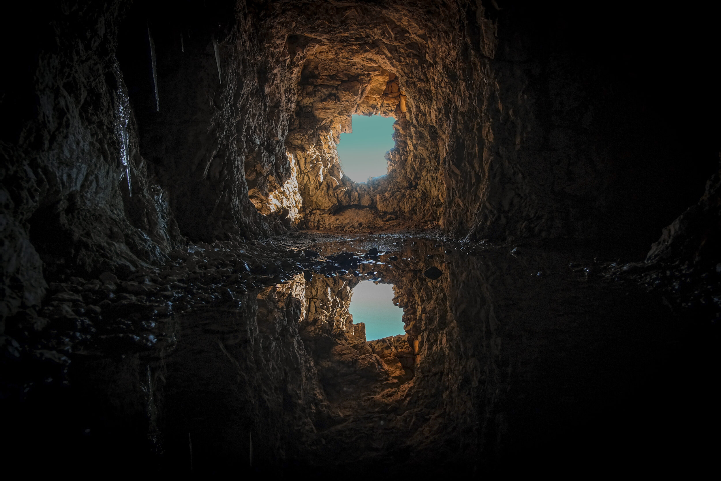
Groundwater levels: everything you need to know in France
In France, as elsewhere, groundwater is an invisible but essential reserve.
Groundwater provides a significant proportion of our water supply, irrigates our crops, supports watercourses in dry periods, and contributes to the balance of ecosystems.
However, it is also vulnerable to climatic variations, overexploitation and pollution. At a time when droughts are becoming increasingly common and extreme weather events are occurring one after the other, it is becoming crucial to understand how groundwater works, its current state and how it can be more efficiently managed.
This article takes a look at what we need to know to understand its role, how it is changing and the challenges it poses.
Groundwater is a natural reserve of freshwater located below the surface of the ground, in the area where the interstices of the subsoil (rocks, gravel and sand) are saturated with water. It is formed by rainwater or run-off gradually seeping through the permeable layers of the soil. This process is slow and depends on a number of factors: the porosity of the soil, the vegetation, the slope of the land and, of course, the frequency and intensity of rainfall.
When water accumulates in these permeable layers, we call it “unconfined groundwater”. The water level can fluctuate naturally with the seasons: it rises in wet periods (autumn-winter) and falls in dry periods (spring-summer), particularly when water is abstracted extensively for irrigation or human consumption.
Groundwater can often be reached by wells or boreholes, which makes it an essential source of drinking water, particularly in rural areas.
The terms groundwater and aquifers are often confounded, as they refer to similar phenomena, but need to be distinguished from one another. An aquifer is an underground reservoir of water contained in a permeable geological layer, such as sand or gravel. It can be found at different depths and in two forms: unconfined or confined.
Groundwater is a special type of aquifer: it is the closest to the surface of the ground. Hence the term “unconfined groundwater”, as it is not confined between two impermeable layers. Its level varies directly in relation to rainfall and evaporation. It is particularly vulnerable to non-point source pollution, such as nitrates or pesticides from agriculture or urban run-off.
Conversely, a confined water table is trapped between two layers of impermeable rock. It is protected from surface pollution but deeper boreholes are needed to exploit it. It generally takes longer to recharge, as it depends on seepage from areas that are sometimes a long way from the catchment area.
It is essential to understand these distinctions in order to be able to adapt the techniques used to monitor water and water networks, and to extract and protect water resources. Therefore, to manage groundwater sustainably, particular attention needs to be paid to the immediate environment, whereas to exploit a confined aquifer, much longer recharge times need to be taken into account.
In short, the term “aquifer” generically refers to any underground reservoir of water. Groundwater is a specific form of aquifer, which is not confined and where the top surface is free and directly influenced by rainfall. Conversely, confined groundwater is isolated by impermeable layers.
In 2025, groundwater levels in France reveal a contrasting picture. According to data from the BRGM (Bureau de Recherches Géologiques et Minières) – France’s public surface and sub-surface expert body - and observations from the French drought monitoring network Info-Sécheresse, some regions are benefiting from a return to levels close to or above normal seasonal levels, while others are still in serious deficit.
This disparity can be explained by differences in rainfall, geology and plant cover, but also by the pressure exerted on the resource by human activities. On average, groundwater tables withstood the winter of 2024-2025 better than in previous years, thanks to a very wet autumn.
Abundant rainfall in the autumn and winter of 2024-2025 sometimes led to groundwater being recharged quickly and effectively in some areas. This is especially the case in the Loire basin, the centre-west and the north of the country, where permeable soils made for good infiltration.
However, this recharge is neither uniform nor systematic. High rainfall levels have often resulted in high volumes of run-off, thereby limiting deep infiltration. In urban areas or areas with saturated soils, the water mainly flowed into rivers and accumulation areas, without seeping down into the aquifer layers.
As a result, several groundwater tables in the south-east, south-west and around the Mediterranean did not see their levels rise significantly.

In April 2025, the departments with very favourable groundwater levels were mainly located in western and central France. These include:
Loir-et-Cher and Eure-et-Loir, which benefit from good, regular water inflows and natural recharge facilitated by permeable limestone formations;
Charente and Vienne, where the chalk and limestone aquifers have effectively absorbed the rainfall;
Gironde, thanks to a wetter than average winter;
Calvados, Manche and Ille-et-Vilaine, with high levels.
In contrast, the groundwater remains very low in the Var, Hérault and Pyrénées-Orientales regions, as well as in certain areas of the Ardèche and Drôme. These areas suffer from a combination of high consumption, difficult recharging and rainfall events that are too short or too intense to be effective.
The interactive maps published by BRGM or Info-Sécheresse offer real-time monitoring of these levels and their variations. They are a valuable tool for water network managers and local authorities.
The relationship between rainfall and groundwater levels is direct but complex. Rainwater is the main source of groundwater recharge. However, for this recharge to be effective, the water must have time to infiltrate into the soil.
Several factors have an influence on this infiltration:
The nature of the soil: sandy or loamy soil favours absorption, whereas clayey or compact soil limits infiltration and favours run-off;
Plant cover: wooded or herbaceous areas slow down run-off and improve infiltration;
Rainfall intensity: regular, moderate rainfall is more beneficial than an intense thunderstorm that runs off the surface without penetrating into the deeper layers;
The initial state of the soil: soil that is already saturated with water or is too dry can reduce how effectively it infiltrates.
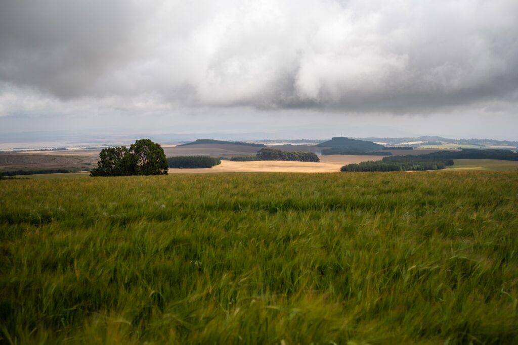
This means that a rainy winter does not automatically guarantee optimum recharge if the water runs off or evaporates quickly. Moreover, groundwater reacts with a certain latency: the level sometimes rises several weeks after it has rained, depending on the depth and permeability of the soil.
This delicate relationship between rainfall and groundwater replenishment is central to the hydrogeological models used by institutions such as the BRGM, to improve forecasting of risk periods and adjust management measures.
The role of catchment areas, wetlands and the management of agricultural land is therefore crucial in encouraging natural recharge.
Sustainable management of groundwater is now a fundamental issue for local authorities, network operators and regions that are facing up to the challenges of climate change. In periods of drought or extreme rainfall, groundwater is a precious resource that must be exploited without being exhausted, and protected without being immobilised.
This management is based on three main objectives: to ensure the supply of water for human use, to avoid tensions linked to drought, and to prevent risks linked to the saturation of groundwater, particularly flooding.
Managing water for human use: in France, groundwater accounts for approximately two-thirds of the drinking water that is distributed. This means that it is essential for local authorities to adapt their extractions in line with the recharge capacity and vulnerability of the groundwater tables. This involves setting up concerted management plans, monitoring water levels in real time, and prioritising uses in times of crisis (for example, giving priority to human consumption before agricultural or industrial use). Regular maintenance of boreholes, measures to combat network leaks and raising awareness among residents of the need to consume more sparingly are all levers for action.
Avoid drought and its risks: to avoid restrictions on use and supply cuts in the event of prolonged drought, managers must build up alternative reserves, such as hill reservoirs or interconnections between networks. They must also diversify sources (surface water, recycling of treated wastewater, desalination in coastal areas) and strengthen the resilience of the supply system. Data from piezometers and connected sensors can be used to anticipate declines in water levels and adapt supply strategies in line with forecasts.
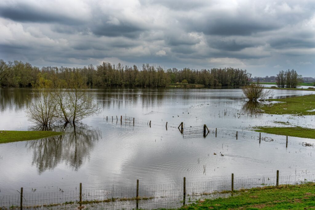
Prevent flooding caused by saturated groundwater tables: when the groundwater table is full, particularly at the end of winter, the slightest rainfall can cause localised overflows, groundwater to rise or outcrops in subsoils. These phenomena are difficult to predict without sophisticated monitoring. This is where warning systems based on networks of sensors, coupled with hydrogeological models, come into play. With these tools, local authorities can adjust crisis plans, warn local residents and organise controlled releases or corrective actions.
Lastly, intelligent groundwater management requires clear, coordinated governance between the various players: local authorities, water authorities, government departments, farmers, industry and the general public. Territorial dialogue and data disclosure are essential prerequisites to building a sustainable, equitable and effective water policy.
Groundwater is not an inexhaustible resource. If it becomes a fundamental component of collective water management, it will ensure that we can meet today's needs without compromising those of tomorrow.
In keeping with this trend, local authorities, water authorities and operators are increasingly relying on high-precision equipment to monitor, regulate and take action effectively. This includes:
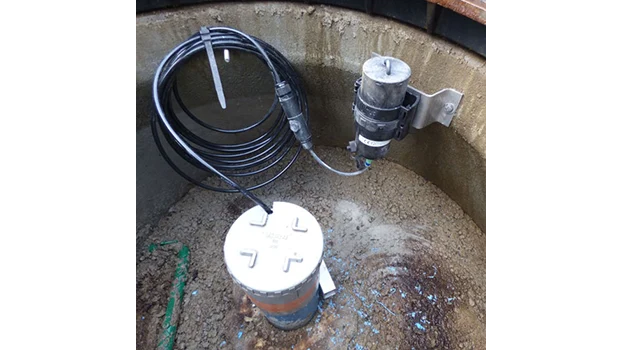
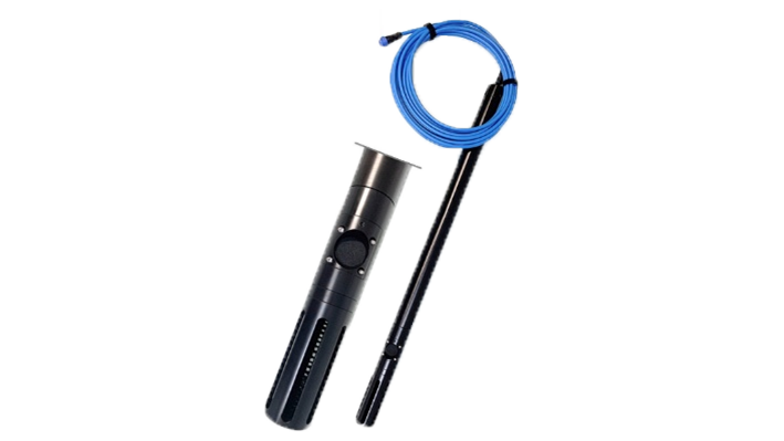
Submersible level sensors, which can be used to monitor changes in groundwater tables in real time;
Connected piezometers, which centralise data and automatically transmit warnings in the event of anomalies;
Level sensors in rivers and springs to improve knowledge of the hydraulic and hydrogeological functioning of the area
Monitoring software and data management platforms, to cross-reference parameters, anticipate trends and make the most informed decisions;
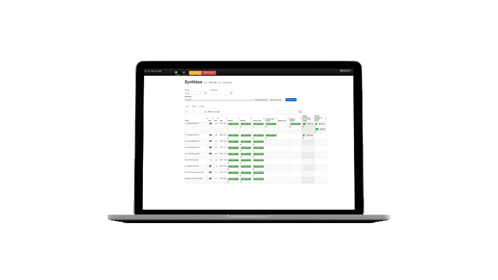
Tools to measure water quality, in order to prevent pollution risks and safeguard health.
In this way, technological innovation acts as a lever: not only does it serve to preserve resources, it also optimises network performance, reduces losses, and improves protection for users and the natural environment.
By combining hands-on experience, hydrogeological expertise and technical solutions, France is gradually establishing tight control over its groundwater. And this is perhaps one of the most robust principles of sustainable water management.
